Topspot N209 žemėlapis – Lower Key AreaKey West iki Rebecca Shoal LORAN-C &

Brand:Topspot

3.8/5

59.30

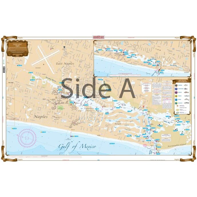
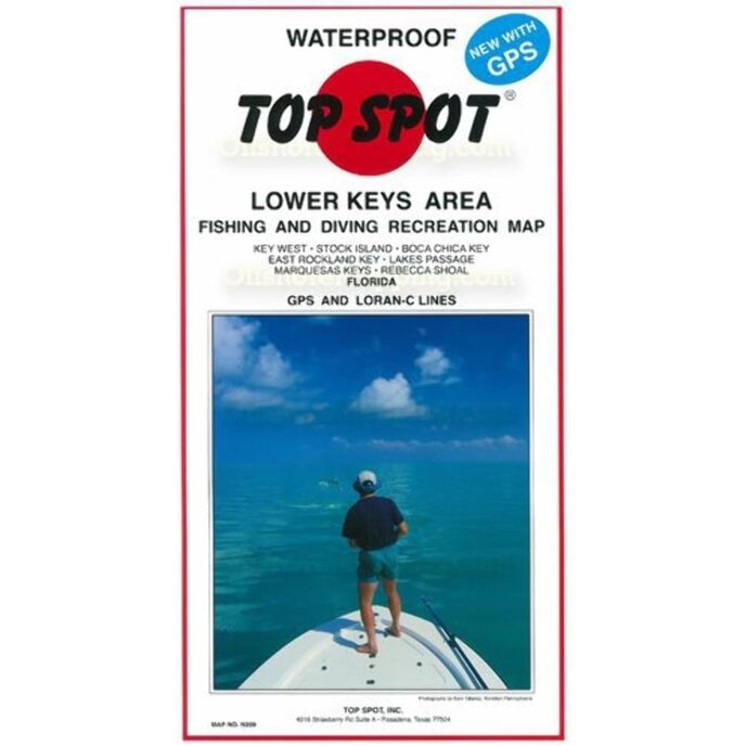
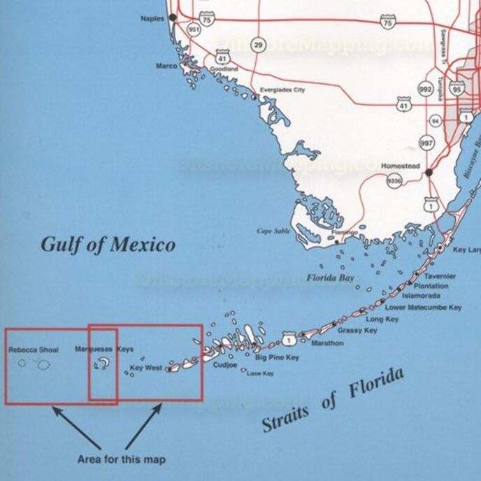
Šis žemėlapis puikiai tinka tipiškam lauko mėgėjui. Populiariausių Key Vesto vietų žemėlapis iki Rebecca Shoal.

Kilmės šalis: JAV. Nurodo sugautų sūraus vandens žuvų tipus, geriausius metų žvejybos mėnesius ir povandeninę struktūrą. Apima karštų žvejybos vietų, valčių rampų, prieplaukų ir kitų lankytinų vietų GPS koordinates. Atsparus vandeniui ir atsparus plyšimui.
Brand Name ‎Topspot
Customer Reviews 4.8 4.8 out of 5 stars 45 ratings 4.8 out of 5 stars
Included Components ‎Fishing and recreation map
Item Dimensions LxWxH ‎13 x 7 x 0.13 inches
Item Package Dimensions L x W x H ‎12.8 x 7 x 0.6 inches
Item Weight ‎0.25 Pounds
Manufacturer ‎Top Spot
Number of Items ‎1
Package Weight ‎0.25 Pounds
Part Number ‎N209

3.8

8 Review
5 Star
83
4 Star
11
3 Star
6
2 Star
0
1 Star
0

Parašykite savo atsiliepimą

Jūsų el. paštas nebus paskelbtas. Visi privalomi laukai pažymėti*

Scritto da: Denise Drellich
One of the best maps
Does the job
Scritto da: GM
Four Stars
helped me find TUNA!
Scritto da: J. Brown
Great
Nice map
Scritto da: TDE
A Must have for boaters
Very informative great stuff here!Sows all areas of interest, how deep,sunken islands ,where the best fishing spots are etc
Scritto da: Amazon Customer
Five Stars
Lots of info and will put you on the fish!
Scritto da: Cameo
Worth the cost.
A.ways reliable!
Scritto da: Amazon Customer
Five Stars
nice chart
Scritto da: Barbara, RN, BSN
Five Stars
excellent product

Susiję produktai

Atraskite mūsų tarptautinį tinklą

Siunčiame į 28 šalis, daugiau nei 200 000 produktų. Sekite naujienas, užsiprenumeruokite naujienlaiškį.

Array